
Cadastral Survey with Total Stations: Complete Workflow Guide
Cadastral survey — establishing legally recognized property boundaries for land registration — follows a structured workflow with a total station: establish or verify control points, run a closed traverse to extend control across the site, measure boundary points using prism reflectors for precision, and compile the resulting coordinates into a survey plan for submission to the land registry. Each step has a specific accuracy requirement, and errors introduced early in the control network compound through the rest of the survey.
1. Why Cadastral Survey Requires a Structured Workflow
Unlike general topographic mapping where minor deviations might go unnoticed, the results of a cadastral survey carry direct legal weight. The coordinates you capture ultimately define land ownership boundaries, resolve property disputes, and support official land registration.
Because of this legal implication, a cadastral survey cannot consist of randomly collecting coordinate points. It must follow a highly standardized methodology. Any error introduced during the initial control network setup will systematically compound and amplify as the survey extends across the parcel. Adhering to a strict workflow ensures traceability, mathematical verification, and legal defensibility.
2. Step 1: Establish or Verify Control Points
Before any property lines are measured, the survey team must verify or establish known control points. These points act as the foundational coordinate framework for the entire project site, ensuring the localized survey ties accurately into the national or regional grid.
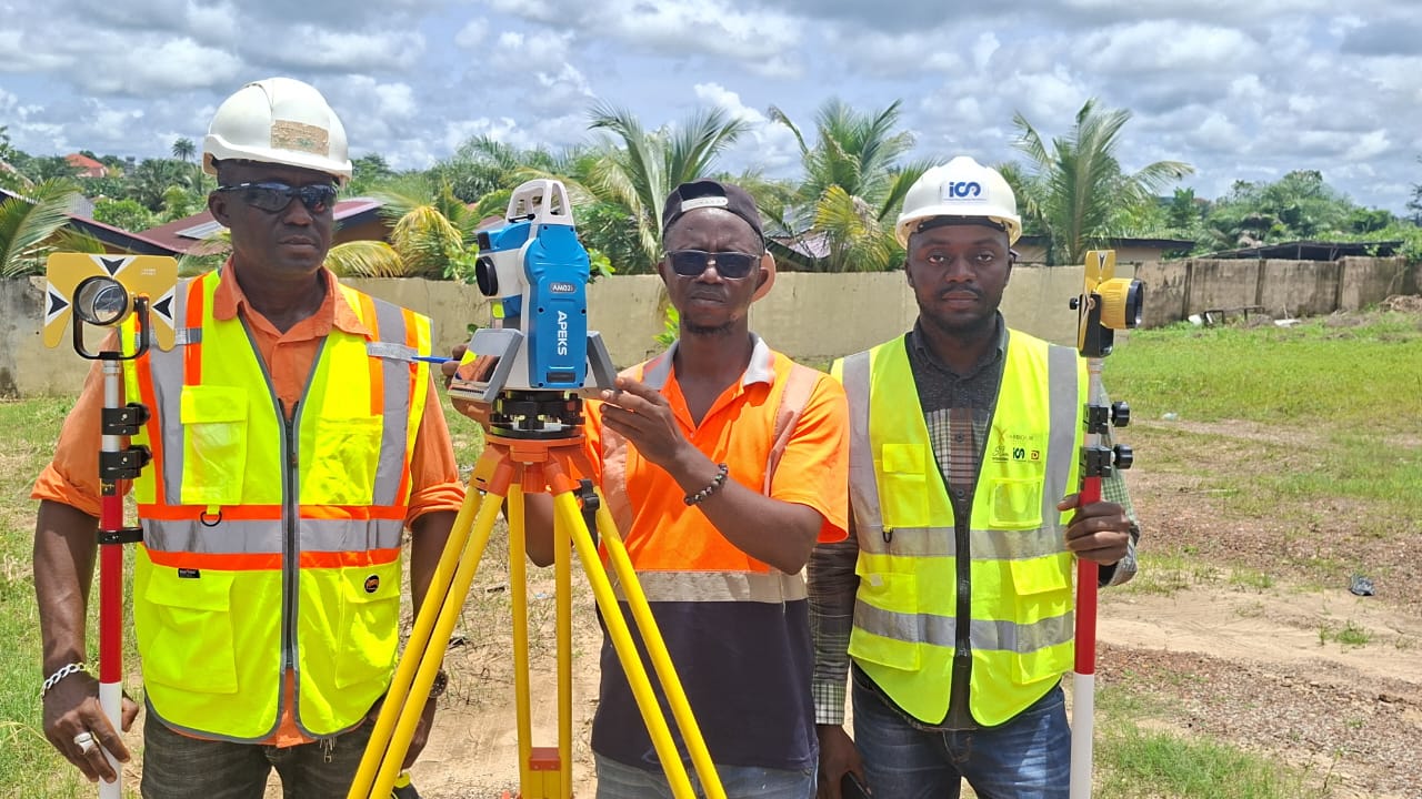
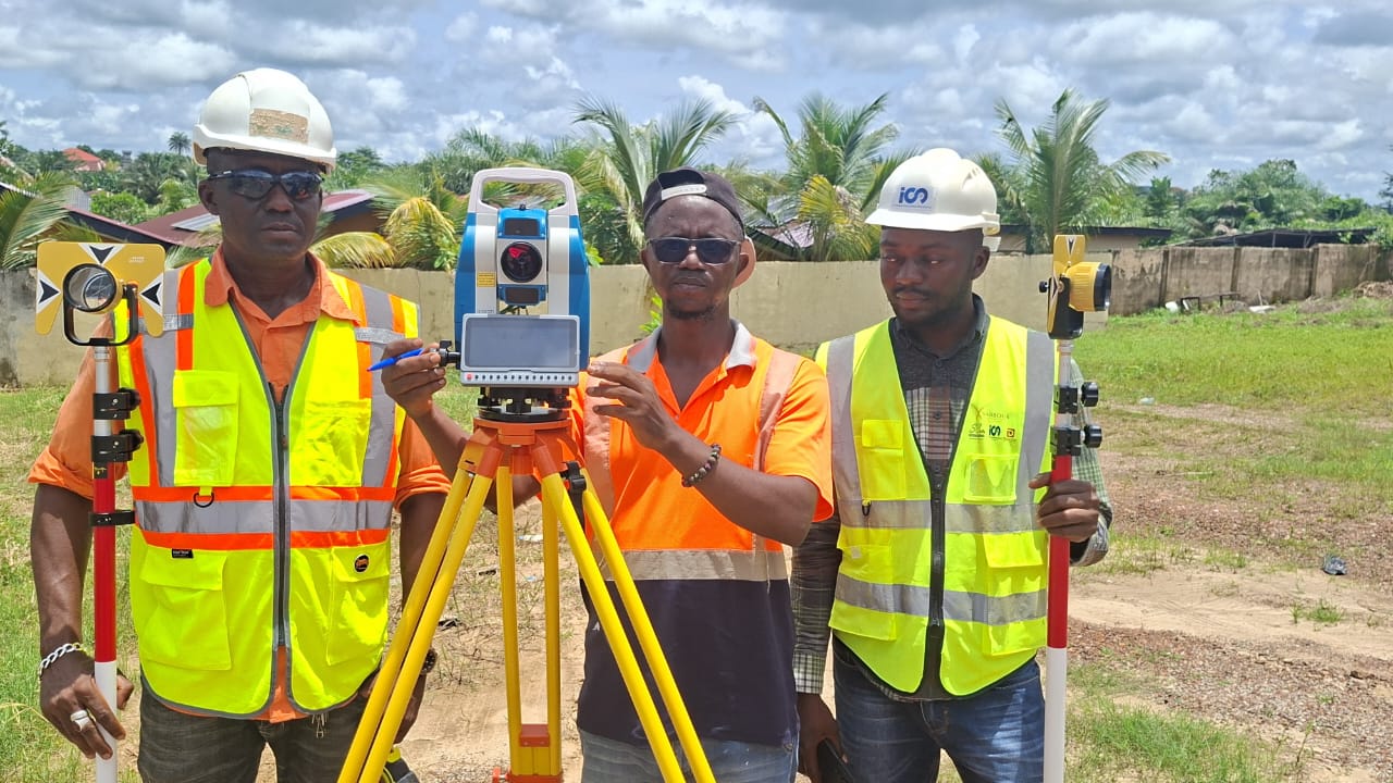
The total station is carefully mounted on a tripod directly over the known control point. The operator performs precise centering and leveling to ensure the instrument's optical axis aligns perfectly with the physical mark on the ground. This setup provides the initial starting coordinates and orientation for all subsequent traversing and detailing.
3. Step 2: Run a Closed Traverse
A traverse is the standard mathematical method for extending coordinate control from your starting point across the entire surveying site. It involves transferring coordinates through a series of interconnected instrument stations using carefully measured angles and distances.
In legal cadastral work, a "Closed Traverse" is heavily preferred or legally mandated. This means the surveying route must eventually loop back to the exact starting point or tie into another independently verified control point. By closing the loop, the surveyor can calculate the "misclosure error" — the mathematical difference between the starting coordinate and the calculated ending coordinate — to definitively prove the quality and accuracy of the entire network.
4. Step 3: Measure Boundary Points
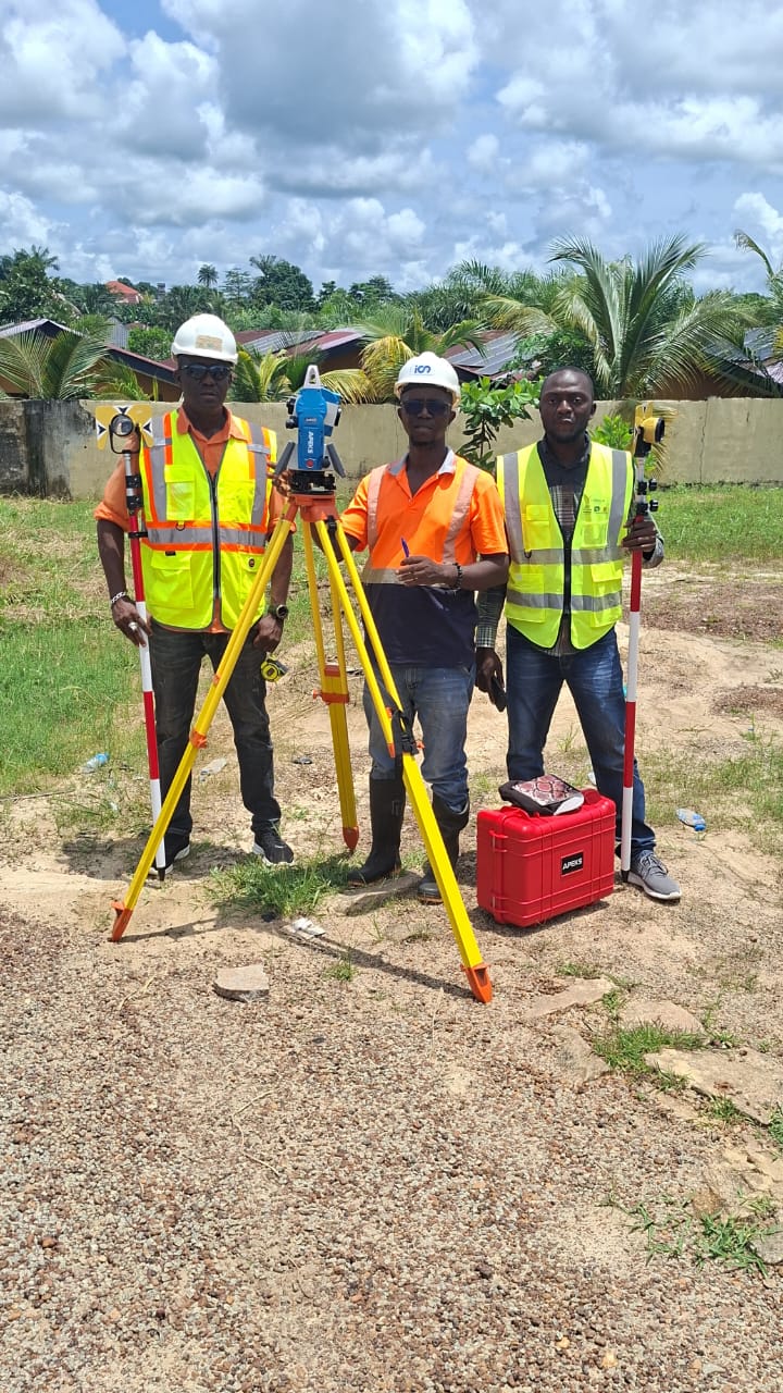
With a verified control network in place, the team can begin capturing the actual property boundaries. This is almost exclusively done using the prism measurement method. The total station sends an infrared EDM (Electronic Distance Measurement) beam to a glass prism target, measuring both the precise angle and distance to calculate the exact coordinate of the boundary corner.
This stage requires tight coordination between a two-person team. One surveyor operates the total station, ensuring sharp target tracking and data recording, while the second surveyor maneuvers the prism pole to various boundary markers, ensuring the pole is perfectly plumb over each legal property vertex.
5. Step 4: Compile and Submit the Survey Plan
After fieldwork concludes, the raw coordinate data must be processed and compiled into formats mandated by the local land registry or municipal authority. This typical deliverable package includes a coordinate table of all legal boundary vertices, a drafted parcel map (cadastral plan), and certified area calculations.
Depending on the scope of the project, pure boundary data is often combined with surrounding topographical features (such as roads, retaining walls, or utility lines) to provide comprehensive site context for future engineering or architectural development.
6. Common Questions About Accuracy Requirements
| Survey Phase | Typical Accuracy Requirement | Primary Influencing Factors |
|---|---|---|
| Control Point Measurement | Centimeter-level | Instrument precision, setup & observation method |
| Traverse Measurement | Closure tolerance varies by regulation | Traverse length, number of transfer stations |
| Boundary Point Measurement | Typically ±2-5cm | Prism type, pole leveling, measurement range |
7. FAQ
Why does cadastral survey require a closed traverse?
A closed traverse forces the measurement path to end at a known coordinate (either the starting point or another verified control point). This allows surveyors to mathematically calculate the misclosure error, proving that the entire control network meets legal accuracy standards before boundary points are measured.
What is the difference between control points and boundary points?
Control points are highly accurate reference markers that establish the coordinate grid for the surveyor's instruments. Boundary points are the physical corners of the land parcel that define legal ownership. You use control points to accurately locate and measure boundary points.
Can a total station measure boundary points without a prism?
While modern total stations have non-prism (reflectorless) measurement ranges up to 1000m for inaccessible objects, legal cadastral surveys generally require prism measurements. Prisms ensure maximum signal return and pinpoint accuracy directly over the physical property marker.
What accuracy is typically required for legal boundary surveys?
While specific tolerances depend entirely on national or municipal regulations, a general industry reference for boundary point accuracy is within ±2-5cm. This necessitates high-grade instruments with 2-second angular accuracy and rigorous field methodologies.
PRECISION THAT HOLDS UP TO LEGAL SCRUTINY.
APEKS total stations deliver the accuracy cadastral survey demands — 2" angular precision, reliable prism measurement, field-tested from setup to boundary point.
Send an Inquiry → WhatsApp Us →