


APEKS AM02i in Sierra Leone: Android Total Station Field Case
A survey team in Sierra Leone deployed the APEKS AM02i Android total station for cadastral field work, combining prism-based measurement with the device's Android 14 interface for on-site data handling. This deployment adds West Africa to the AM02i's growing field record — alongside GNSS-denied tunnel and forestry work in Chile and software compatibility testing in India — demonstrating the same 2" angular accuracy and 1000m non-prism range across three continents and three distinct application types.
1. The Deployment: Cadastral Survey in Sierra Leone
A professional surveying team recently deployed the APEKS AM02i Android total station to conduct extensive cadastral field measurements across development zones in Sierra Leone.
Cadastral surveying serves as the foundational step for land registration and property rights confirmation across most West African nations. This demanding application requires strict compliance with angular and distance measurement tolerances, while simultaneously demanding high efficiency in on-site data processing and recording.
The AM02i proved highly effective in this environment. Powered by an Android 14 operating system and featuring a bright 6-inch touchscreen interface, the instrument makes field data recording, coordinate verification, and CAD file handling deeply intuitive. This smartphone-like interaction significantly lowers the operational learning curve for field crews accustomed to navigating complex, multi-layered menus on traditional keypad total stations.
2. Scene A: Field Setup for Cadastral Work
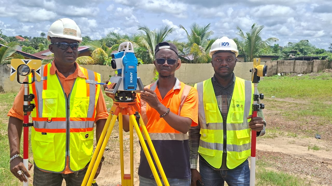
The APEKS AM02i is shown here set up in the field for cadastral survey work in Sierra Leone — the total station mounted and leveled, ready to begin boundary point measurement as part of a land registration project.
3. Scene B: Team Operation with Prism
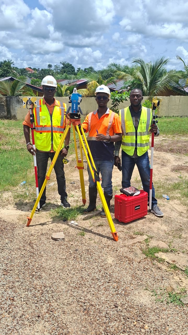
Surveyors work together using the AM02i alongside a prism target — the standard workflow for angle and distance measurement in cadastral boundary work, where precise point-to-point measurement determines the final recorded property lines.
4. Scene C: Topographic Mapping Context
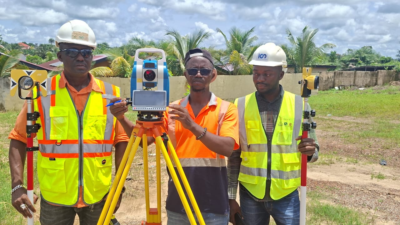
Beyond boundary work, the same AM02i unit supports topographic mapping tasks common across African infrastructure and land development projects — capturing elevation and terrain data alongside standard cadastral measurement.
5. AM02i Across Three Continents
The successful deployment in West Africa adds another layer to the AM02i's rapidly expanding track record of global field verification. The instrument has now successfully executed primary surveying tasks across three continents, proving its adaptability to radically different environmental challenges and software integration requirements.
| Country / Region | Application Scenario | Core Challenge Resolved |
|---|---|---|
| Chile | Tunnel, forestry, and high-voltage corridor surveying | Complete GNSS-denied environments |
| India | Athletics field event measurement and verification | Third-party software communication protocol integration |
| Sierra Leone | Cadastral boundary measurement and topographic mapping | Standard West African land registration field work |
👉 Read the Chile case study: APEKS AM02i Chile Tunnel & Forestry Survey
👉 Read the India case study: Total Station for Athletics Field Event Measurement
6. Key Specifications
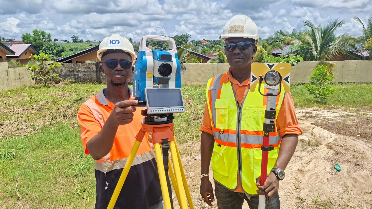
The AM02i delivers professional-grade optical specifications driven by modern mobile processing architecture, ensuring high productivity in varied international climates.
| Parameter | Specification |
|---|---|
| Angular Accuracy | 2" |
| Non-Prism Range | 1000m |
| Prism Range | 4000m |
| Display | 6" Android touchscreen |
| OS | Android 14 |
| Battery | Dual 7000mAh hot-swap |
| CAD Import | Native DXF/DWG via ApekSurv |
7. FAQ
Has the AM02i been used for cadastral survey in Africa?
Yes, the AM02i has been deployed by survey teams in Sierra Leone for cadastral boundary measurement and topographic mapping, expanding its field-verified record into West Africa.
What makes the AM02i suitable for land registration work?
Land registration requires strict angle and distance accuracy. The AM02i provides 2-second angular accuracy, a 1000m non-prism EDM, and seamless integration with prism targets to deliver the precision needed for legal property line documentation.
How does the AM02i's Android interface help with field data recording?
The AM02i runs on Android 14 with a large 6-inch touchscreen. This allows surveyors to input point data, visually verify coordinates on a digital map, and process native DXF/DWG CAD files directly on the instrument, eliminating the steep learning curve of legacy keypad menus.
Is the AM02i accurate enough for boundary point measurement?
Yes. With a 2-second angular accuracy and precise point-to-point EDM capabilities up to 4000m with a prism, the AM02i exceeds the standard precision requirements for both urban and rural boundary point establishment.
THREE CONTINENTS. SAME PRECISION.
APEKS AM02i field-verified from Chile's tunnels to Sierra Leone's cadastral surveys — 2" accuracy, Android 14, 1000m non-prism range wherever the work takes you.
Send an Inquiry → WhatsApp Us →