

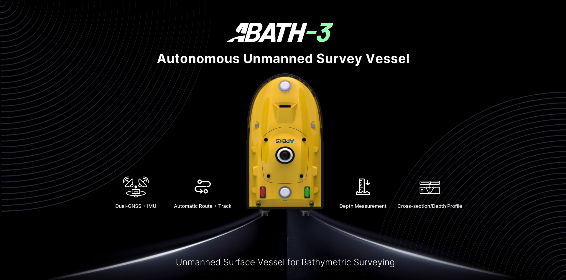
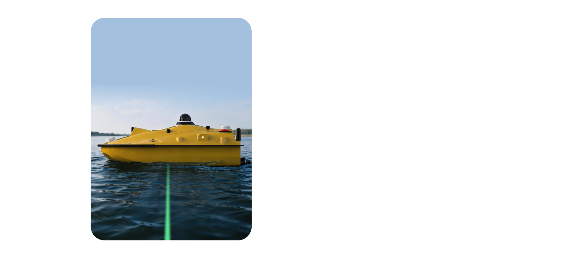
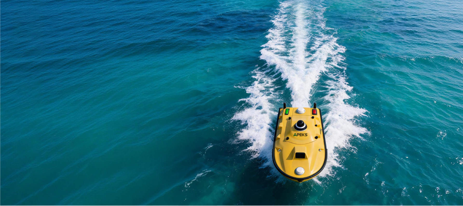
The APEKS ABATH-3 is a highly-integrated, lightweight and portable autonomous single-beam survey vessel. It integrates high-precision dual-antenna GNSS, IMU and depth sounder onboard.
RAPID DEPLOYMENT
Boasting a streamlined, ready-to-use design, it can be deployed by one operator within minutes.
AUTONOMOUS SURVEYING
Suitable for lakes, inland rivers and coastal waters, the ABATH-3 runs along pre-programmed routes autonomously. It automatically collects, processes and analyzes underwater terrain and water-quality data.
ALL-WEATHER PRECISION
With centimeter-level positioning and all-weather performance, it elevates the efficiency and coverage of shallow-water survey operations.
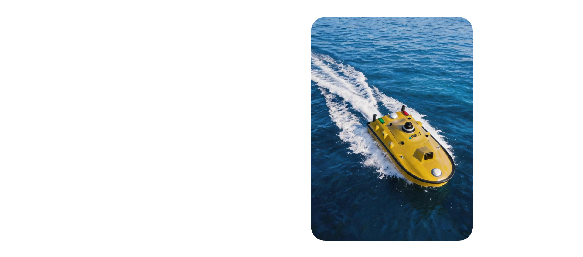
Lightweight Hull,
Easy Deployment
The 7 kg carbon-Kevlar hull is under 1 m and fits a car trunk. No assembly needed - one person handles transport, launch and recovery.
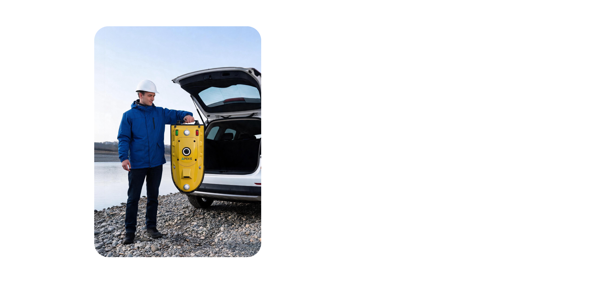
GNSS+IMU Positioning,
Reliable Navigation
Dual GNSS + 200 Hz IMU deliver ±8/+15 mm RTK and ±0.1 heading.If signals drop,the IMU keeps position streaming so data stays continuous.
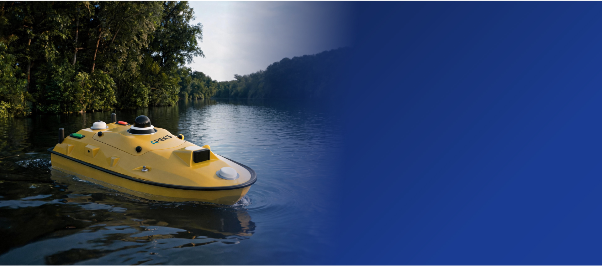
mmWave Radar,
360° Safety Monitoring
mmWave radar scans 0.1-20 m (+120°) with live alerts, plus a 360° night camera. Auto-return, full bumper and dual-redundant design add layered safety.

Single-Beam Echo Sounder,
Modular Payload
Hot-swap 33.6 V packs give 7 h@1.5 m/s or 3 h@2 m/s (top7 m/s). The bay carries a single-beam echo sounder for depth and cross-sections,plus sonar, probes, samplers, SDK support.
AquaSurvey
Intelligent USV Control & Survey Software
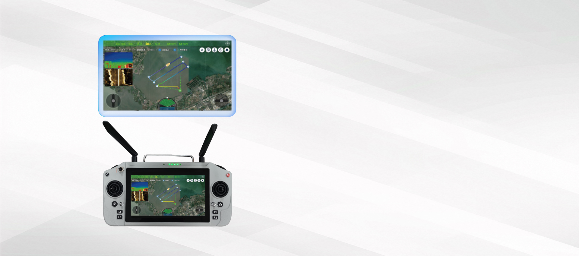
AquaSurvey is an integrated survey software suite for ABATH-3's controller, combining project planning,navigation, real-time monitoring,data synchronization, and secure data processing,with one-touch operation and automatic navigation.
- Route Planning
- Auto Navigation
- Real-Time Tracking
- Echo Sounder
- Sonar
- Water Quality Sensors
- Real-Time Depth
- Sonar Data
- Water Quality
- Echo Stacking
- Attitude Correction
- Data Export
- Obstacle Avoidance
- Signal Alerts
- Auto Return
| Physical | |
| Hull Dimension (L*W*H) | 0.98 × 0.52 × 0.255 m |
| Material | Macromolecular Polyester Carbon Fiber & Kevlar |
| Shape | M-Shape Monohull |
| Draft | 8.5 cm |
| Weight | 7 kg (W/O Payload & Battery) / 30 kg (W/ Payload & Battery) |
| Maximum Payload | 35 kg |
| Anti-Wind & Wave | 3rd-Level Wind, 2nd-Level Wave |
| Waterproof & Dustproof | IP67 |
| Power & Propulsion | |
| Motor Type | Brushless Motor |
| Steering Type | Differential Steering, Support Reversing |
| Maximum Motor Power | 900 W |
| Motor Speed | 5300 RPM |
| Motor Installation | Pluggable |
| Anti-Clogging Design | Semi-Embedded Ducted Thruster: Weed-Resistant & Easy-Clean |
| Battery Specification | Hot-Swap 2× 33.6 V 25 Ah Rechargeable Lithium |
| Battery Endurance | 3 h @ 2 m/s ; 7 h @ 1.5 m/s |
| Maximum Speed | 7 m/s |
| Interface | 2 × RJ45 Port; 2 × RS232 Serial Port; 2 × RS485 Serial Port |
| Storage | 64 GB |
| Operating Mode | Manual & Auto |
| Operating System | Linux |
| GNSS & Positioning | |
| GNSS | Dual GNSS Antennas (Positioning & Heading) |
| Satellite System | BDS: B1I, B2I, B3I; GPS: L1C/A, L2P(Y), L2C; Galileo: E1, E5b; GLONASS: L1, L2; QZSS: L1C/A, L2C; SBAS: L1C/A |
| RTK Positioning (RMS) | Horizontal: ±8 mm + 1 ppm; Vertical: ±15 mm + 1 ppm |
| DGNSS Positioning (RMS) | Horizontal: 0.4 m + 1 ppm; Vertical: 0.8 m + 1 ppm |
| Single-Point Positioning (RMS) | Horizontal: 1.5 m; Vertical: 2.5 m |
| Cold Start | <30 s |
| Initialization | <5 s (D<10 km) |
| Heading Accuracy | 0.1° @ 1 m Baseline |
| Inertial Navigation Accuracy | 6°/h, <1 m/20 s |
| IMU Update Rate | 200 Hz |
| NTRIP Protocol | Support CORS, NTRIP Client, Expansibility |
| Radio Protocol | TT450, Transparent |
| Camera & Obstacle Avoidance | |
| Camera | 360° Night-Visible Omnidirectional Camera |
| Obstacle Avoidance Angle & Range | Horizontal & Vertical Angle: 120° × 120°; Distance: 0.1 ~ 20 m |
| Echo Sounder | |
| Frequency | 200 KHz |
| Beam Angle | 8° |
| Sounding Range | 0.15–200 m (Optional Longer) |
| Resolution Ratio | 8 mm |
| Sounding Accuracy | ±1 cm + 0.1% D (D = Depth Value of Water) |
| Sound Velocity | 0 m/s ~ 1700 m/s |
| Communication | |
| Frequency | 2.4 GHz |
| Communication Range | Data Transmission in 3 km via 2.4G; Unlimited Distance via 4G |
| Base Station | UHF & Ntrip |
| Data Transmission | 4G & 2.4G & UHF |
| Controller Communication | 4G & 2.4G |
| SIM Card Slot | Nano Card Slot |
| Remote Controller | |
| Dimensions | 277 × 138 × 96 mm |
| Display | Touch-Sensitive & Sunlight-Visible Display 1920 × 1200 Resolution,1200 nit |
| Storage | 4GB RAM + 64GB |
| System | Android |
| Battery Capacity | 20000 mAh |
| Runtime | 8 h |
| Charger | 18W Type-C Fast Charging in 2 h |
| External Interface | USB, Type-C, SIM Card Slot, TF Card Slot |
| Function | One-Click Switch: Manual, Auto, Hover, Return; Quick Buttons: Route Planning, Safety Settings, Parameters Managing, Status Checking; 360° Coverage: Full-Control Camera Dial |